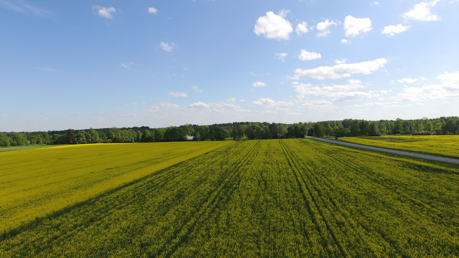
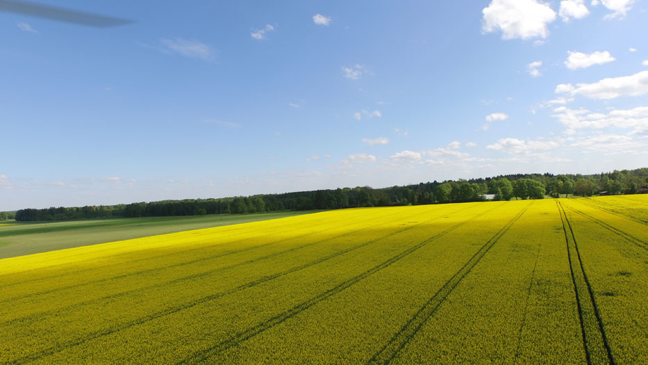
Precision agriculture has changed dramatically because of a quick development of technology in recent years. Equipment supported by modern sensors and managed by GPS give unprecedented data for business analysis. The innovation proceeds with robotics and drones.
Drones are programmed to fly at specific speeds and altitudes flying along pre-programmed GPS guided routes to follow up pre-determined activities. Whether using infrared or thermal camera the data is collected to be digitized by special software for the optimal business analysis. Those software solutions are designed to monitor crop health, detect nutrient deficiencies, identify weeds, wild animals, forecast weather patterns, assess flood or drought damage, monitor your livestock and calculate the density of forests. It is said that the drones could change the scenery of farming as much as industrial revolution did.
We do not have the Precision Farming Service ready yet but are in advanced negotiations with a number of partners. In case you want to discuss your need do not hesitate to contact us at info@drooniteenused.ee.


